Everything You Need to Know about Aerial Photography
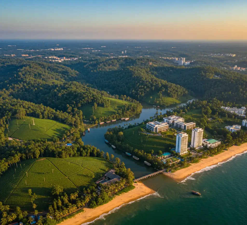
What is Aerial Photography? The technique of taking pictures of the ground, scenery, or buildings from a higher altitude, typically from the air, using equipment like drones, airplanes, helicopters, or satellites, is known as aerial photography. It provides photographers and businesses with a bird’s-eye view that cannot be obtained from the ground, as well as unique views, size, and contextual information. Types of Aerial Photography Oblique Aerial Photography: Photos taken at an angle rather than directly overhead. Types: High oblique: Shows the horizon and gives a perspective view of the terrain. Low oblique: Focuses more on the subject without including the horizon. Uses: Real estate, tourism promotion, and landscape photography. Vertical Aerial Photography: Photos taken straight down from above (90° angle). Uses: Mapping, surveying, urban planning, agriculture, and GIS (Geographic Information Systems). Tilted or Modified Aerial Photography: Combines aspects of oblique and vertical photography for specialized purposes. Uses: Photogrammetry, 3D modeling, and detailed mapping. Drone Photography: Modern aerial photography using drones for flexible and affordable aerial shots. Uses: Real estate, marketing, events, cinematography, inspection, and tourism. Satellite Aerial Photography: Captured from satellites orbiting the Earth. Uses: Environmental monitoring, mapping, disaster management, and weather forecasting. Balloon or Kite Aerial Photography: Captured using cameras attached to balloons or kites. Uses: Surveying remote areas, creative photography, and environmental studies. Aerial Photography in India Aerial photography in India has grown significantly due to developments in drone technology, legislative support, and a wide range of uses across industries. From capturing the architectural marvels of ancient structures to monitoring agricultural fields, aerial imagery provides unmatched perspectives and insights. Principles of Aerial Photography Aerial photography principles guarantee the accuracy, clarity, and utility of photos taken from above. Comprehending these concepts is crucial for uses such as scientific study, mapping, and surveying. Scale: The scale is the ratio of a distance on the photograph to the corresponding distance on the ground. Scale depends on flying height and the focal length of the camera. Maintaining a consistent scale is important for mapping and measurements. Geometry of Photography Aerial photos are affected by the position of the camera, altitude, and terrain relief. Vertical photographs minimize distortion and are preferred for mapping, while oblique photographs give perspective views. Coverage and Overlap Forward overlap: Consecutive photos overlap by 60–80% along the flight line. Side overlap: Adjacent flight lines overlap by 20–30%. Overlaps allow the creation of stereoscopic images for 3D viewing and accurate measurements. Orientation The camera should be properly oriented with respect to the terrain. Tilt must be minimized in vertical photos to avoid distortions. Orientation affects accuracy in measurements and mapping. Stereoscopy Taking overlapping photos allows stereoscopic viewing, giving a 3D perception of the terrain. Essential for topographic mapping, elevation measurement, and construction planning. Ground Control and Reference Using ground control points (GCPs) ensures the photographs can be correctly scaled and referenced on maps. Helps in accurate georeferencing and measurement. Timing and Lighting Aerial photography is influenced by sun angle, shadows, and atmospheric conditions. Optimal lighting ensures clear, sharp images without distortion. Factors Affecting Aerial Photography The quality, clarity, and use of aerial photos are influenced by a number of factors. Understanding them assists in planning and carrying out successful aerial photography missions. Weather and Atmospheric Conditions Clouds, fog, haze, or dust can reduce visibility and clarity. Wind speed affects the stability of the aircraft or drone. Clear, sunny days are ideal for sharp images. Time of Day / Sun Angle The position of the sun affects shadows, contrast, and illumination. Mid-morning or mid-afternoon is usually best to avoid long shadows. Low sun angles can create dramatic shadows but may distort details. Altitude / Flying Height Determines the scale and coverage area of the photograph. Higher altitude covers more area but reduces detail; lower altitude increases detail but covers less area. Camera and Lens Characteristics Focal length, aperture, and sensor resolution affect image quality. High-quality lenses reduce distortion and improve sharpness. The type of camera (digital, film, infrared) determines the type of data captured. Flight Path and Orientation Correct flight line planning ensures proper overlap and coverage. Camera tilt or orientation can cause distortions if not controlled. Terrain and Ground Relief Uneven terrain can cause scale variations in vertical photos. Hilly or mountainous areas may require special planning for accurate coverage. Stability of Aircraft or Drone Vibrations or sudden movements affect image sharpness. Stabilized cameras or gimbals help maintain clarity. Type of Photography Vertical vs. oblique photography determines perspective and the type of distortions expected. Uses of Aerial Photography Aerial photography offers a perspective of the Earth from above, which is useful in a variety of industries. Its uses can be practical, commercial, and scientific. Mapping and Surveying Creating topographic maps and contour maps. Land surveys for urban planning and construction. Boundary demarcation for property or governmental purposes. Agriculture and Forestry Monitoring crop health, irrigation, and soil conditions. Detecting pest infestations or disease in plants. Forest mapping, tree density analysis, and deforestation tracking. Urban Planning and Infrastructure Planning roads, bridges, and urban layouts. Monitoring construction progress. Managing traffic and land use planning. Disaster Management Assessing damage after floods, earthquakes, or storms. Coordinating relief operations. Identifying safe routes and affected areas. Military and Defense Reconnaissance and surveillance. Planning strategic operations. Monitoring border areas or hostile territories. Environmental Studies Tracking pollution, erosion, and natural resource changes. Monitoring coastal areas and wetlands. Wildlife habitat assessment. Real Estate and Tourism Showcasing properties from above for marketing. Highlighting tourist destinations, resorts, and natural landscapes. Archaeology and Heritage Conservation Discovering ancient sites and monuments. Documenting heritage sites for restoration. Cinematography and Photography Capturing movies, documentaries, and commercials. Creating creative and dramatic visual effects. Advantages & Benefits of Aerial Photography Broad Area Coverage Captures large areas in a single shot. Useful for mapping, urban planning, and agriculture. Unique Perspective Offers views and angles not possible from the ground. Enhances visual appeal for marketing, tourism, and cinematography. Accurate Data Collection Helps in surveying land, forests, and construction sites. Allows precise measurements for
Everything You Need to Know about Aerial Photography Read More »